Contact: +91 99725 24322 |
Menu
Menu
Quick summary: Discover how geographic coordinates are transforming EUDR compliance. Explore the requirements and implications in our informative blog

Geographic coordinates serve as indispensable tools in navigating the EUDR. As the EU takes decisive steps to combat deforestation and uphold environmental sustainability, the integration of geographic coordinates into regulatory frameworks has become increasingly crucial.
The EU deforestation regulations aim to curb the impact of businesses on global deforestation, emphasizing sustainable and responsible sourcing practices. These regulations have far-reaching implications for businesses operating within the EU, necessitating a careful examination of their supply chain data, especially concerning geographic coordinates and traceability.
Specifically, in the context of EU deforestation regulations, geographic coordinates offer a precise means of tracking and monitoring land use changes, facilitating effective enforcement and compliance measures
Geographic coordinates, (typically represented by latitude and longitude, are numerical values) pinpoint to a specific location on the Earth’s surface. In traceability systems, these coordinates serve as a fundamental component in tracking the movement of products through the supply chain. Each step of the production and distribution process is tagged with these coordinates to create a comprehensive trail that facilitates transparency and accountability.

Precise geographic data is very important when it comes to tracing the origin of products. The ability to identify the exact location of raw material sourcing, manufacturing, and distribution allows businesses to demonstrate compliance with EU deforestation regulations. Additionally, it empowers companies to respond swiftly to any environmental or ethical concerns related to their supply chain.
The obvious challenge when it comes to geographic coordinates in traceability is inaccuracy in capturing. The diversity of supply chain operations, varying data formats, and the potential for human error in manual data entry can lead to inconsistencies and inaccuracies. Overcoming these challenges is crucial to ensuring the reliability of traceability data.
Data Challenges under EU Deforestation Regulations
The European Union’s (EU) commitment to combat deforestation and sustainable practices and to line in compliance specific data requirements is aimed at ensuring transparency and accountability in the supply chain. As businesses navigate the complexities of EU deforestation regulations, they encounter distinct data challenges that demand innovative solutions.
Ensuring data accuracy begins at the source. Businesses should implement robust data collection processes that prioritize accuracy and consistency. This may involve training personnel, utilizing automated data capture technologies, and establishing clear protocols for data entry and verification.
Embracing advanced technologies such as GPS tracking and geospatial mapping can significantly enhance the accuracy of geographic coordinates. These technologies provide real-time updates and seamless integration into traceability systems, reducing the risk of errors associated with manual data entry.
Implementing data validation and verification mechanisms is essential for maintaining data integrity. Regular audits, cross-referencing with actual geographical locations, and real-time validation checks can identify and rectify errors promptly, ensuring the reliability of the traceability data submitted for regulatory compliance.
Unlock insights into leveraging this cutting-edge technology for sustainable land management practices
Discover how polygon mapping revolutionizes compliance with EU deforestation regulations.
Embracing advanced technologies is pivotal in overcoming the complexities associated with geographic coordinates and traceability. GPS tracking systems, powered by real-time satellite data, provide unparalleled accuracy in capturing geographic coordinates. These systems not only enhance the precision of location-based data but also facilitate immediate updates, aligning seamlessly with the EU’s requirement for real-time reporting.
Geospatial mapping technology emerges as another invaluable tool. By visualizing geographical data in a comprehensive and interactive manner, businesses can gain deeper insights into their supply chain. Geospatial mapping enables efficient decision-making, aiding in route optimization, risk mitigation, and adherence to EU deforestation regulations.
The integration of technology solutions is not merely a response to regulatory demands but a strategic investment in the future of sustainable business practices. As businesses navigate the intricacies of EU deforestation regulations, leveraging these advanced technologies empowers them not only to meet compliance requirements but also to contribute meaningfully to environmental conservation efforts.
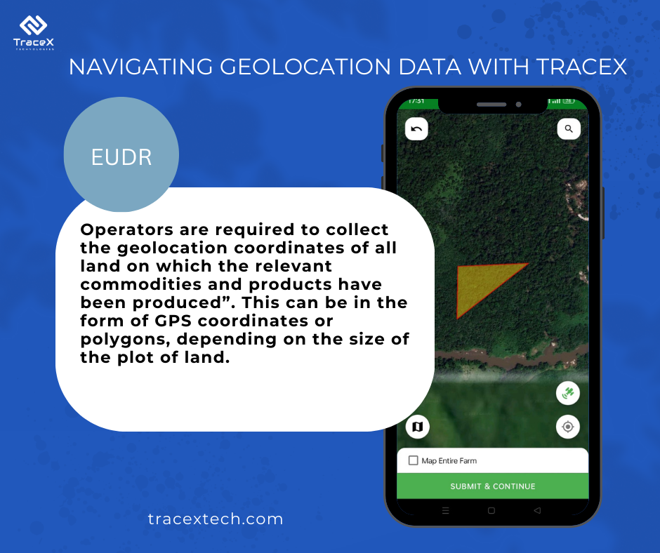
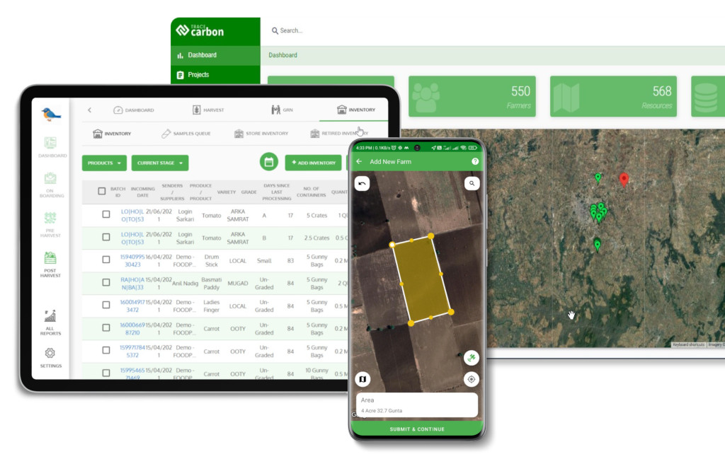
TraceX’s Farm plot management feature within Trace Gro, its pre-harvest and farm management module, offers robust capabilities for precision agriculture. With geospatial coordinates and polygon mapping, farmers can accurately plot and define their land boundaries. This ensures transparency and traceability throughout the agricultural value chain. The Crop mapping feature allows recording of different crop types and associated practices, aiding in data analysis and decision-making. Geo-tagging facilitates data collection and analysis for improved efficiency and yield.
Additionally, the Polygon Mapping feature enhances transparency by tracing the entire farm perimeter, preventing encroachment into restricted zones like forests. Utilizing remote sensing, it identifies deforested lands post-2020, ensuring compliance with regulations like EUDR. Geo-fencing safeguards against unauthorized changes to mapping, ensuring accuracy and authenticity. With TraceX, farmers can optimize operations, increase transparency, and adhere to regulatory standards seamlessly.

The journey through the intricacies of data challenges under EU deforestation regulations illuminates the critical intersection of technology, sustainability, and compliance for businesses. The regulatory landscape demands a paradigm shift in data management practices, and proactive adaptation is imperative. Addressing challenges related to geographic coordinates and traceability requires a multifaceted approach.
Businesses must embrace advanced technologies, such as GPS tracking, geospatial mapping, and cloud-based platforms, to enhance the accuracy and real-time reporting of geographic data. The collaborative integration of these solutions fosters interoperability among supply chain partners, ensuring standardized data formats and creating a transparent ecosystem crucial for compliance.
Beyond regulatory obligations, these technological investments lay the foundation for sustainable business practices. They empower companies to navigate the complexities of modern supply chains with efficiency, minimizing environmental impact and contributing to broader conservation goals.
